
POLAR VORTEX: It’s About to Get Very Cold in the Midwest
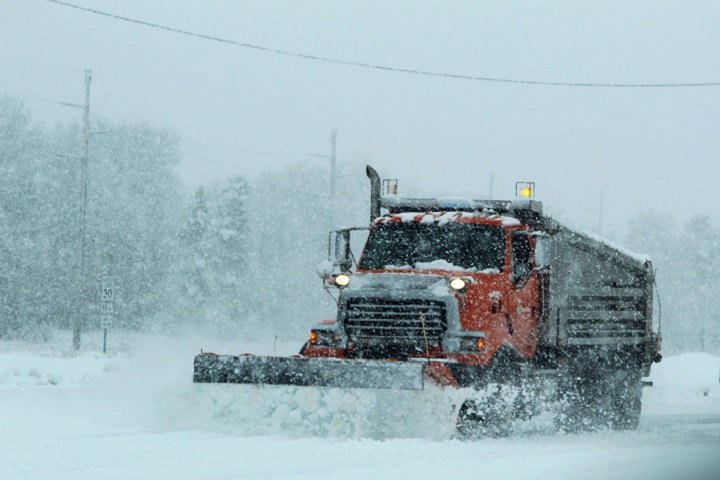
The “polar vortex” is bearing down on the northern United States and is expected to drive temperatures as low as 20 to 30 degrees below zero, with windchills registering in the low -50s. The storm is expected to bring some of the coldest temperatures the midwest has seen in decades, and could set records in cities like Chicago, Illinois, and Minneapolis, Minnesota.
“By Wednesday and Thursday, morning lows may reach the minus 20s in the Twin Cities, with minus teens and minus 20s in Des Moines, Iowa, Chicago and Milwaukee,” the Weather Channel reports. “Subzero-cold lows may extend through much of the Ohio Valley and into the interior Northeast by late-week. Thursday will be the coldest day along the Northeast Interstate 95 corridor with lows in the single digits from Washington D.C. to Boston.”
Accuweather reports that the temperatures are unique, also, in that they are “prolonged,” and could last from late Tuesday night through early Thursday morning: “Some locations in the Midwest will be below zero continuously for 48-72 hours.” The high on Thusday in Chicago is not expected to top -14 degrees. . .
The rest of the country isn’t safe, either. According to meteorologists with USA Today, one day after the record cold hits the midwest, it’ll bear down on Washington, D.C., and even the “Deep South,” though temperatures down the Eastern seaboard aren’t expected to fall below zero. . .
Places as far south as Jackson, Mississippi; Birmingham, Alabama; and Chattanooga, Tennessee, may see upwards of an inch of snow. “Atlanta could even receive a coating to an inch of snow,” one local weatherman predicted, giving Georgia students an official “snow day” later in the week — something they rarely experience. (Read more from “POLAR VORTEX: It’s About to Get Very Cold in the Midwest” HERE)
Follow Joe Miller on Twitter HERE and Facebook HERE


